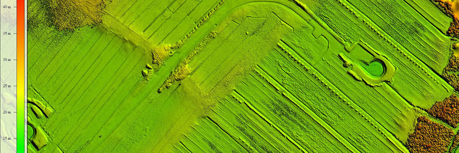
Digital Terrain Models
Aerial Robotix(ARX) is specialised in low altitude aerial photography with a geometrically calibrated camera. This enables us to obtain all heights of a surveyed terrain. At the location of each extracted height the X and Y coordinates are also measured. Using this data, a digital terrain model (DTM) is created. The advantages of a digital terrain model are that it allows for extremely fast and efficient calculations.
Using DTMs, the volume of a stockpile can be evaluated relative to a ground level. If two measurements have been made over a period of time, the difference in volume can be computed.
The quality of the digital terrain models are extremely high, recent projects have shown that the average error is less than 20mm. The measurement density (point density) can be as high as 1000 points per square meter revealing every important detail in the terrain!
In combination with our sister company Pisces Offshore Limited in Lagos, , ARX can generate terrain models that extend under water. See a recent project example here.