
Construction
Delivering precision data for modern infrastructure development.
- Home
- Industries
- Construction
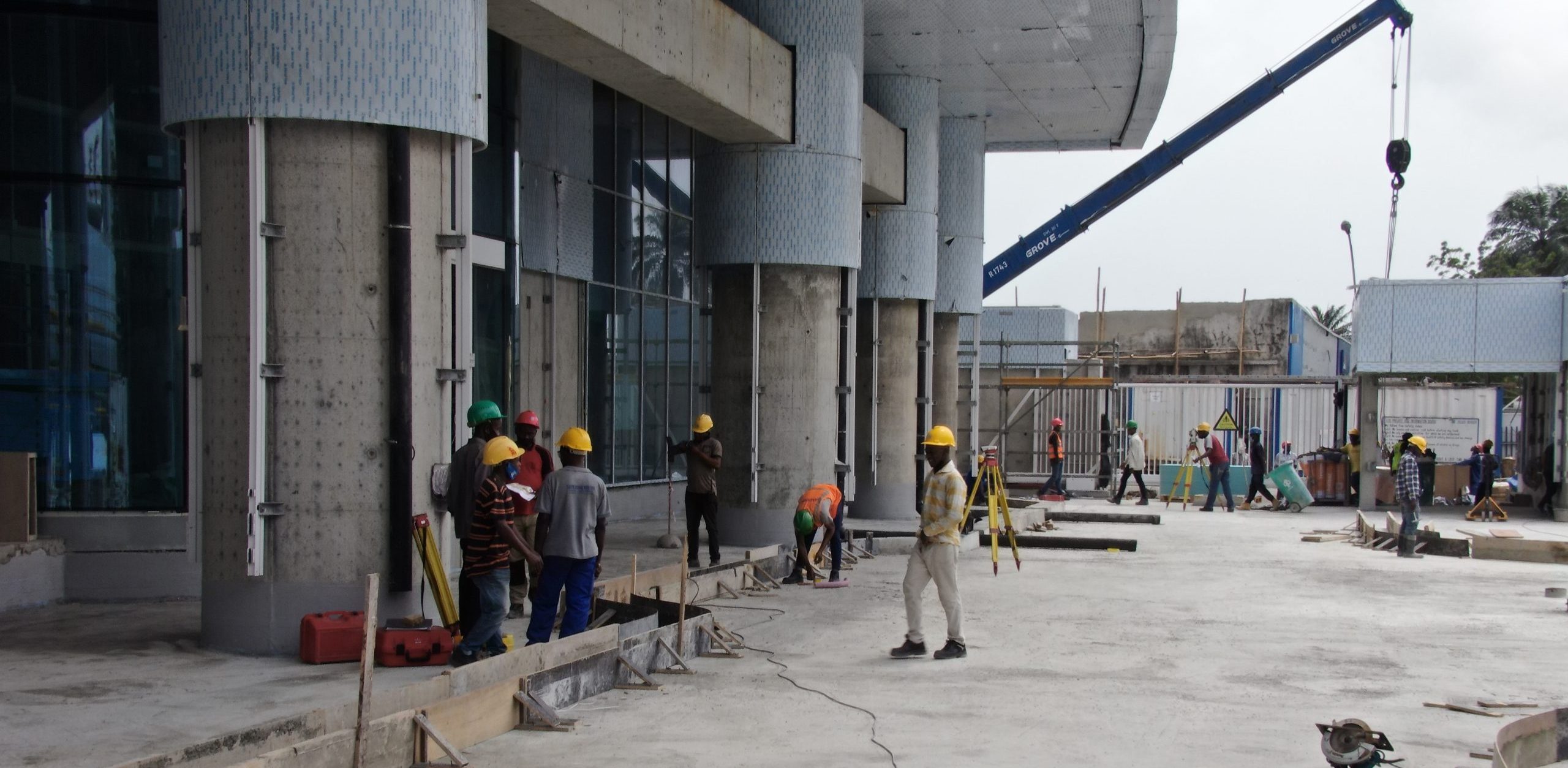
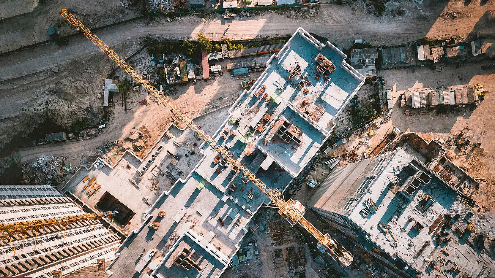
We empower developers, contractors, and engineers with drone-powered topographic mapping, progress reporting, and asset inspections that improve coordination and transparency across every project phase.
Our UAV data helps teams monitor site progress, track material usage, and detect potential risks early ensuring that projects are delivered safely, on time, and within budget. We bring modern efficiency to urban developments, transportation corridors, and industrial facilities across the region.
What We Offer
Drone-powered insights for efficiency, safety, and control.
Safer, Smarter, and Faster Energy Operations
Our UAV systems reduce operational risk, increase asset visibility, and speed up inspection cycles in energy and mining sectors. We empower teams to detect issues early and plan maintenance more efficiently.
Successful Projects in the Industry
Explore our success stories to see how we have helped businesses like yours overcome challenges
IOC FPSO Internal Inspection
BVLOS Client X
Mota-Engil
Offshore Inspection Mobil
Let’s Work Together !
Our clients include some of the most respected names in oil, gas, and critical infrastructure.
Backed by experience. Chosen by leaders.