


Zero Downtime.

Secure Every Structure.

Actionable Insights.


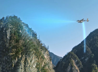
BVLOS Surveillance
We pioneered BVLOS drone operations in Nigeria, enabling wide-area monitoring of pipelines, infrastructure, and critical assets—streaming actionable intelligence in real time, up to 500km away.
Show More
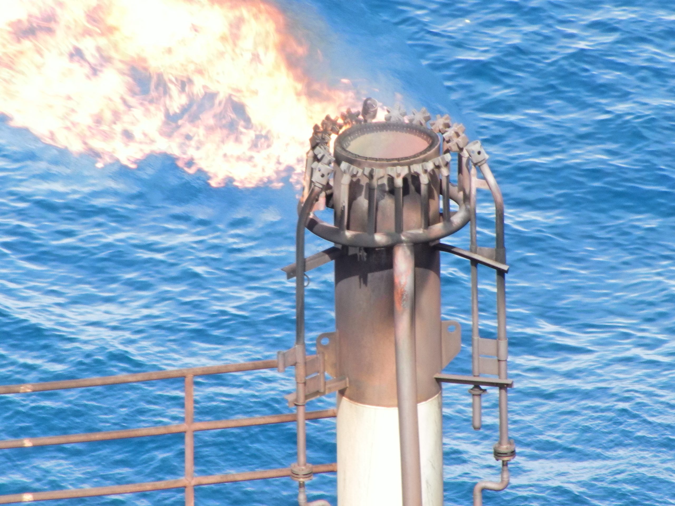
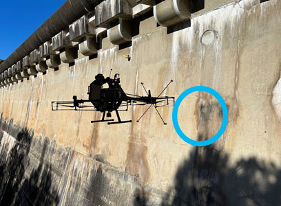
Asset Integrity Inspection
We deliver advanced aerial inspections that redefine asset monitoring. From flare stacks and powerlines to tanks, vessels, and pipelines, we provide high-resolution visual, thermal, and ultrasonic data without shutdowns.
Show More
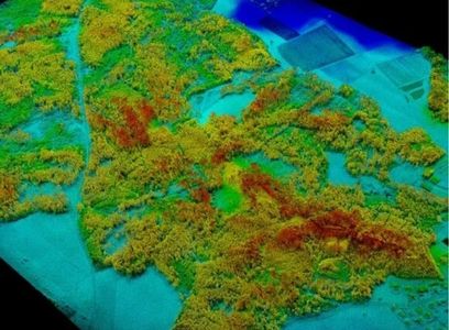
Aerial Survey
We provide high-precision aerial surveying using drones equipped with LiDAR, imaging, and analytics — delivering fast, accurate data for mapping, engineering, and planning projects.
Show More

Environmental Monitoring
With OGI and real-time sensor payloads, we help you detect fugitive emissions, monitor methane, and comply with environmental standards—protecting your people, your assets, and your reputation.
Show More
BVLOS Surveillance
We pioneered BVLOS drone operations in Nigeria, enabling wide-area monitoring of pipelines, infrastructure, and critical assets—streaming actionable intelligence in real time, up to 500km away.
Show More
Surveying & Mapping
We deliver accurate, high-resolution maps, 3D models, and digital elevation data using drone-mounted LiDAR, photogrammetry, and multispectral sensors—designed for confident planning and measurement.
Show More
Environmental Monitoring
With OGI and real-time sensor payloads, we help you detect fugitive emissions, monitor methane, and comply with environmental standards—protecting your people, your assets, and your reputation.
Show More

360° Aerial Imaging & Video
Create immersive visuals for documentation, progress tracking, or promotional use. Our 360° aerial and ground video services deliver stunning content with unmatched clarity and depth.
Show More
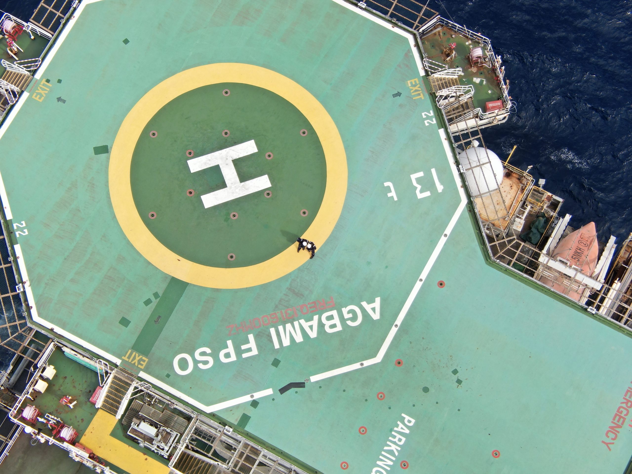
Asset Inspections
Get detailed visual, thermal, and structural inspections of critical assets—onshore and offshore—without disrupting operations. From flare stacks to towers, we make inspections faster, safer, and smarter.
Show More
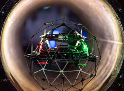
Indoor Drone Inspections
Our confined-space drones navigate tanks, silos, and other hard-to-reach interiors delivering precise visual, thermal, and UT data without the need for scaffolding, entry permits, or human exposure.
Show More


23
Apr
Tekever AR3 monitoring critical assets for aerial robotix in Nigeria
Tekever has been chosen by Nigerian UAS operator Aerial Robotix for environmental monitoring of oil…

23
Apr
New sponsor Aerial Robotix launches 2024 NRLA Championship
Aerial Robotix, a leading provider of drone services in West Africa, has launched the 2024…

23
Apr
Nigeria Deploys Drone Surveillance To Curb Oil Theft In Niger Delta, Says Lokpobiri
The federal government would deploy new technologies like drones and satellite surveillance to halt massive…
