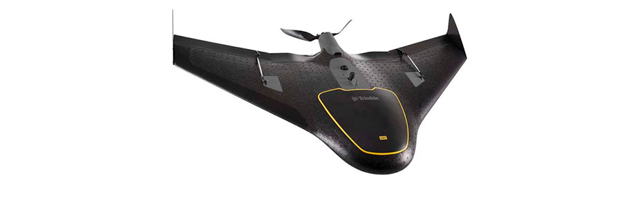
Trimble UX5-HP
The Trimble UX5 HP is a professional aerial mapping system, designed to capture the highest image accuracy for survey applications. The features of the new UX5 High Precision include an integrated Trimble GNSS receiver, a powerful 35mp camera, and a selection of camera lenses available for the ultimate in system flexibility.
The camera in addition to the GNSS receiver achieves a leading level of image accuracy—orthomosaics resolution down to 1 cm and 3D models with up to 1,000 pts/m2. Post-processed kinematic (PPK) GNSS technology is used to establish image locations in absolute coordinate systems, minimizing, or even eliminating in some cases, the need for ground control and greatly increasing the value of the deliverable. This level of precision is ideal for power line modelling, field levelling and site planning.